Aerial Intelligence, Delivered with Precision
Capture detailed data from the sky using high-precision UAVs — fast, safe, and cost-effective.
REQUEST A DRONE SURVEYWhat We Offer:

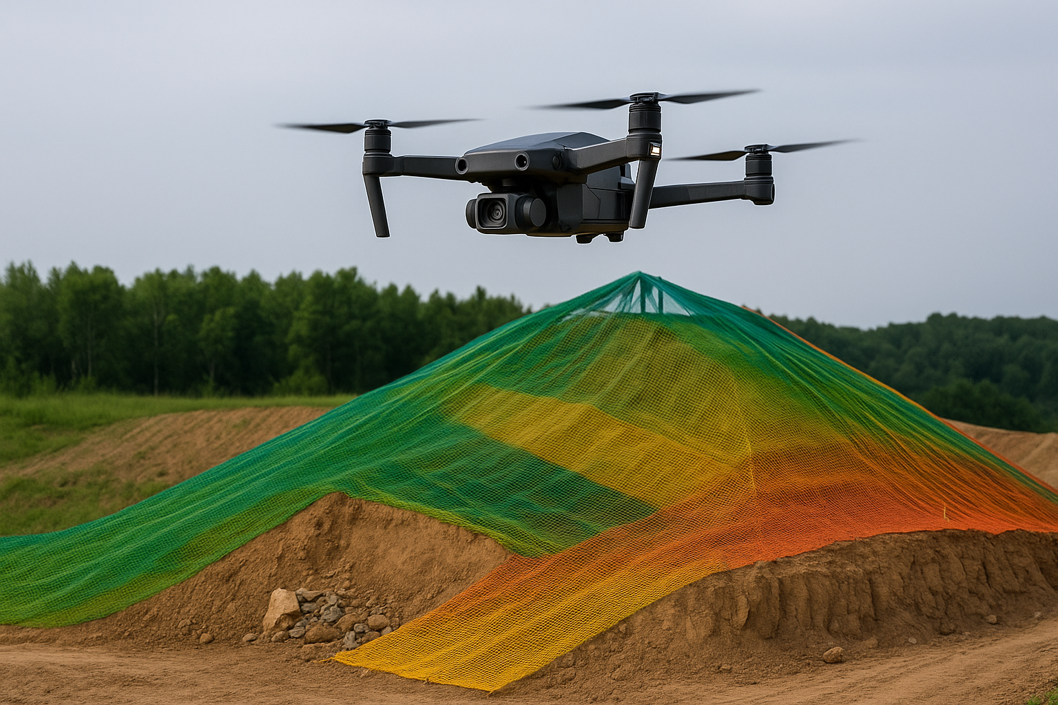
Drone Mapping / satellite imagery
High-resolution orthophotos and terrain models.

3D Modelling
Point clouds and mesh models for BIM and planning.

LiDAR & Photogrammetry
Precise elevation data from hard-to-reach areas.
Why Work With Us?
- Fast turn around compared to traditional surveying
- Reduced field time and crew size
- Highly accurate data capture from hard-to-reach areas
- Certified and experienced drone pilots

Industries We Serve
- • Construction & Infrastructure
- • Land Development & Planning
- • Environmental Monitoring
- • Agriculture & Forestry
- • Energy & Utilities
- • Mining & Quarrying
Watch How We Work
Get a behind-the-scenes look at how we use drones and 3D modeling to deliver precision surveying results.
Let’s Talk Aerial Surveying
Have a project in mind? Reach out to us for a free consultation or quote. Our team is ready to assist you.
Request a Survey QuoteOr email us directly: info@plumb-surveying.com