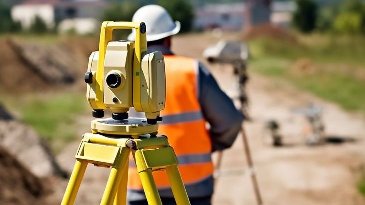
Precision Land Surveying to Power Every Project

From topographic and boundary surveys to geodetic control and as-built documentation — we deliver with accuracy and efficiency.

Get a Land Survey Quote

What We Offer

Topographic Survey Icon

Topographic Surveys

Contour, elevation, and terrain mapping for planning and design.

Geodetic Icon

Geodetic Control

Establishing precise survey networks using GNSS and total stations.

As-Built Icon

As-Built Surveys

Precise verification of structures, utilities, and infrastructure.

Construction Staking Icon

Construction Staking

Accurate layout of foundations, roads, utilities, and site elements.

Why Work With Us?

  • Certified, experienced land surveyors
  • GNSS & total station equipment for high precision
  • Quick fieldwork, clear CAD deliverables
  • Integrated with GIS, BIM & construction workflows
Land Surveying Team

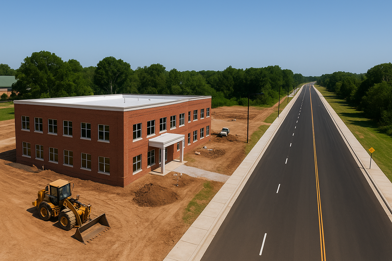
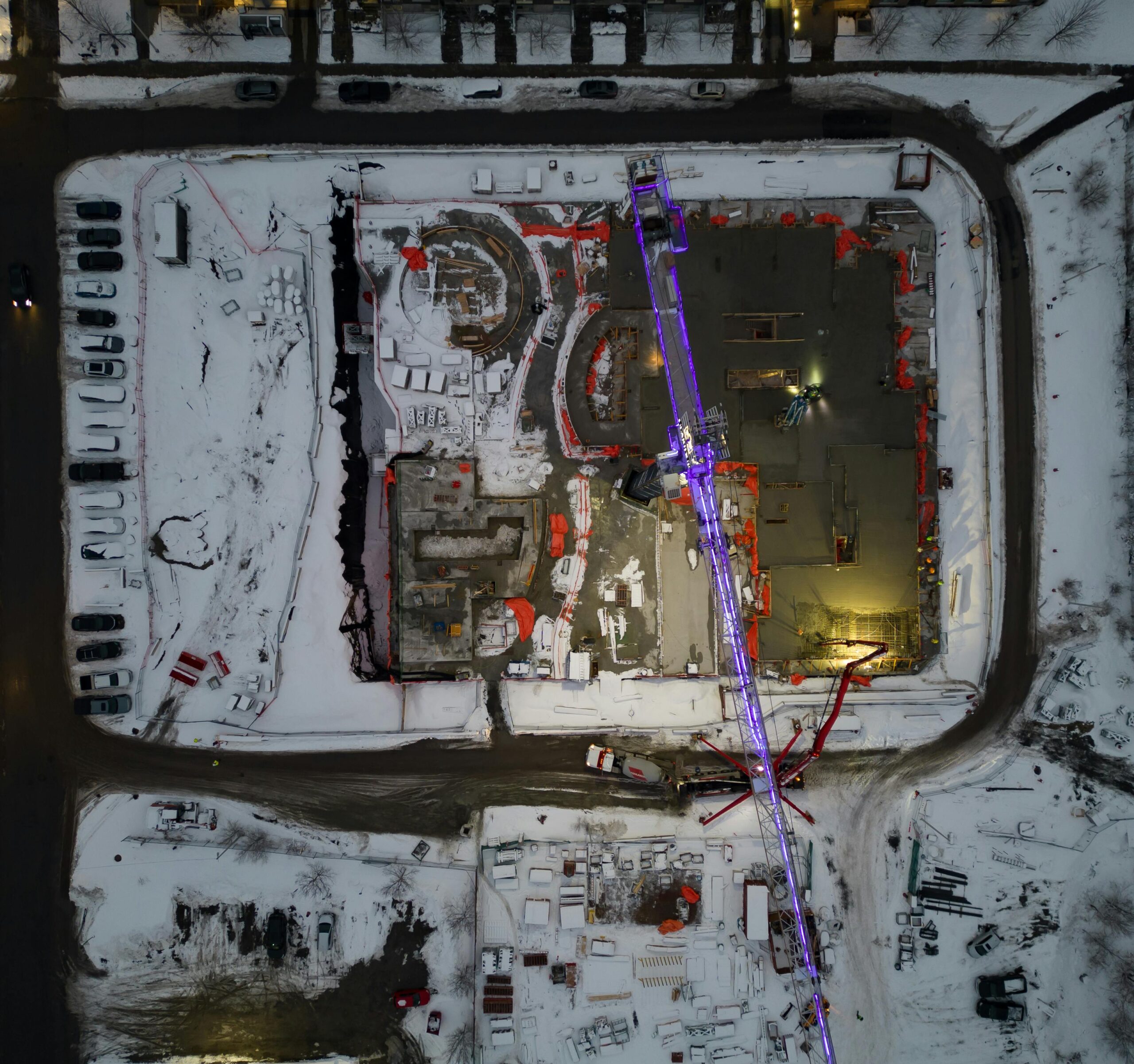
Recent Land Projects

Industries We Serve

Construction & Infrastructure
Land Development & Planning
Real Estate & Housing Projects
Government & Public Works
Energy & Utilities
Environmental & Geospatial Studies

Let’s Talk Land Surveying

Have a project in mind? Reach out to us for a free consultation or quote. Our team is ready to assist you with topographic, as-built, and construction surveys tailored to your needs.

Request a Survey Quote

Or email us directly: info@plumb-surveying.com