Our Capabilities

3D Laser Scanning
Capture ultra-detailed models with millimeter accuracy using terrestrial laser scanning (TLS).

Drone-based Photogrammetry
Generate 3D maps and visual models via aerial drone data collection and stitching.

Structural & Ground Monitoring
Real-time monitoring of deformation, settlement, and structural movement.

Point Cloud & BIM Modeling
Convert scans into CAD/BIM-compatible models for engineering and planning.
Plumb Visual Transformation: Before vs. After
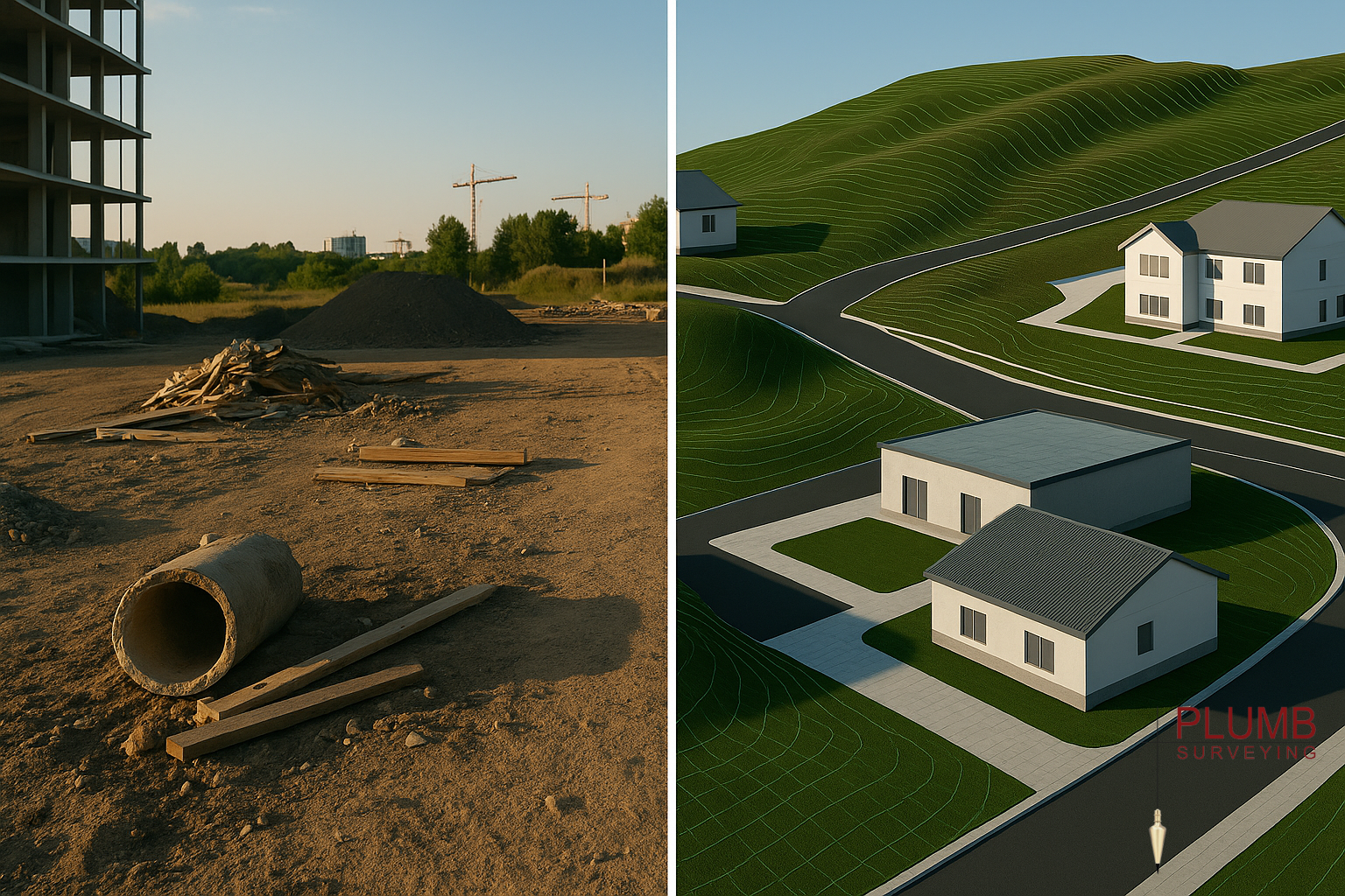
*Side-by-side comparison of terrain before and after surveying & modeling*
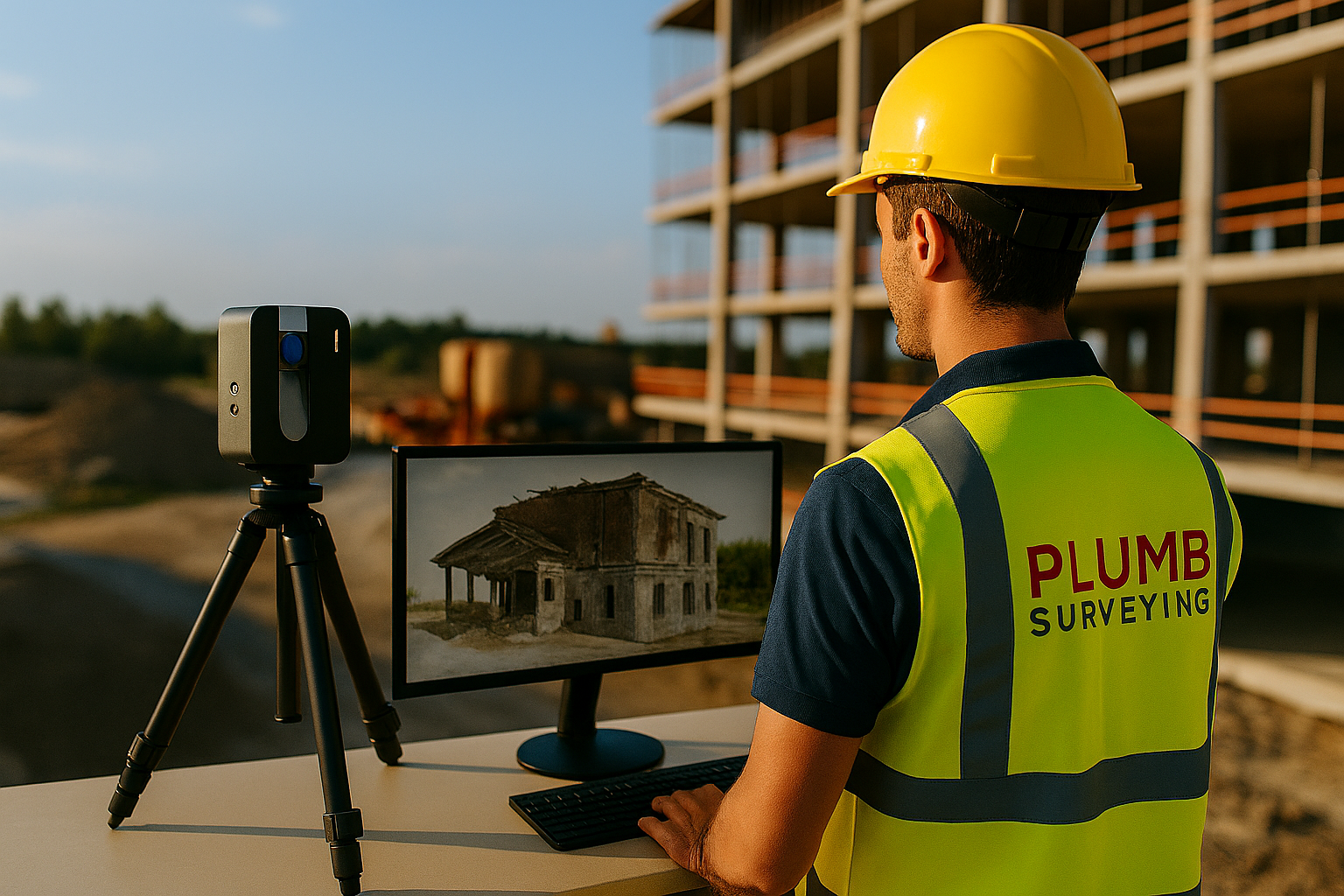
3D Laser Scanning
Capture precise site geometry with millimetre accuracy using LiDAR-based scanning for buildings, terrain, and infrastructure.
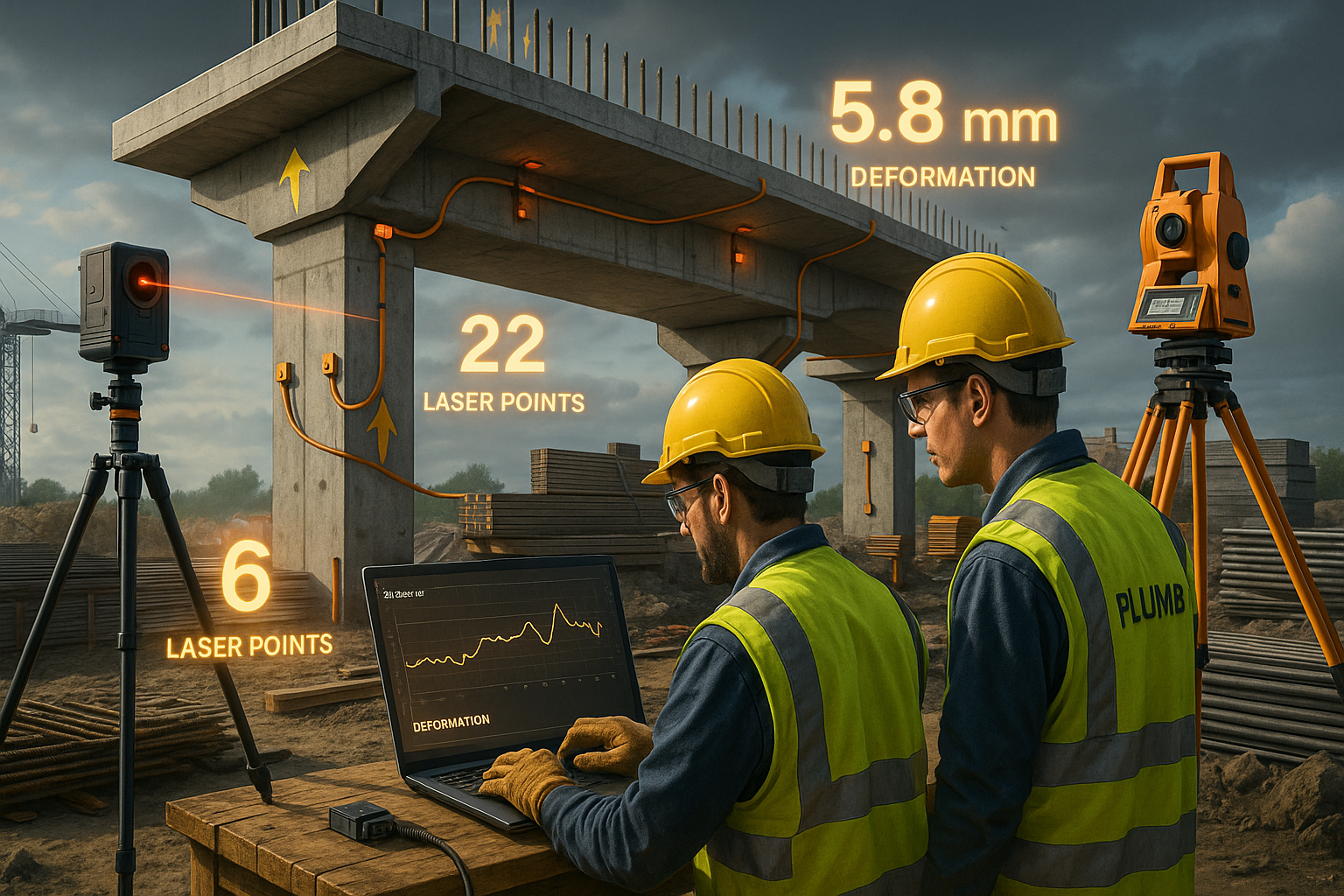
Structural Monitoring
Track deformation and displacement over time with automated sensor-based systems and manual checks.
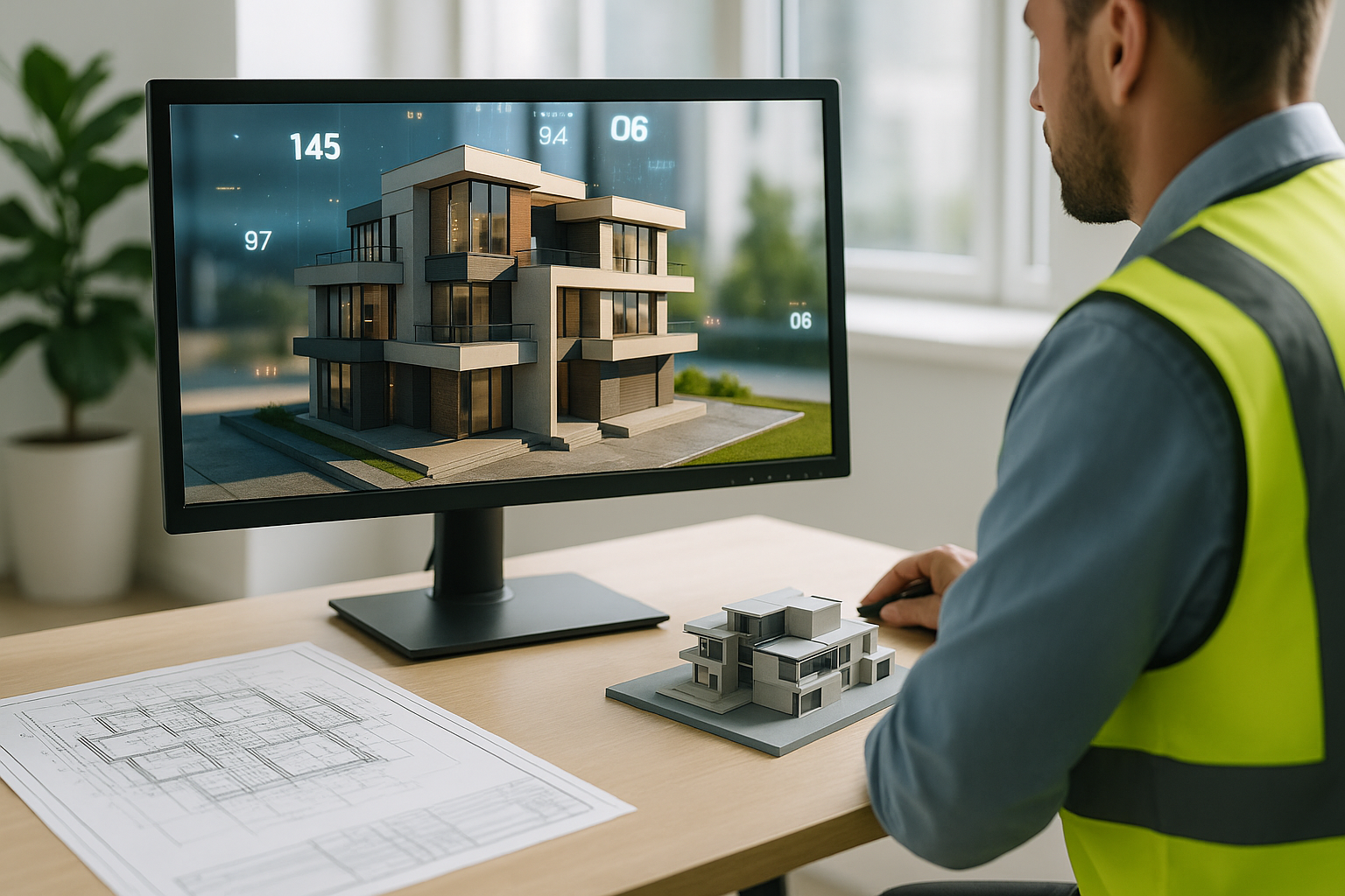
3D Visualization & Models
Produce BIM-ready models, textured meshes, and walkthrough simulations for planning, design, and documentation.