About Us
About Us
We Are a Trusted Surveying & Mapping Partner Across the UAE
At Plumb Surveying, we deliver precise, reliable, and efficient surveying solutions powered by advanced technology and expert knowledge. We help shape smarter infrastructure, safer developments, and more sustainable environments.
With a team of qualified surveyors, geospatial specialists, and field experts, we approach every project with meticulous attention to detail—ensuring that no boundary is overlooked, no utility is misplaced, and no map is left incomplete.
Our Services-
Cutting-Edge Technology
We leverage drones, advanced GPS, and 3D mapping tools to deliver accurate, high-quality results faster and more efficiently.
-
Proven Industry Experience
Our team brings extensive experience across construction, utilities, transport, and environmental sectors, ensuring expert service every time.
-
Reliable Data You Can Trust
From project planning to execution, we deliver precise data that forms the foundation of safe, successful developments.
0
Successful Projects Completed
0
Clients & Partners Served
0
Survey Sites Mapped Across the Region
0
Years of Combined Team Experience
Why Clients Trust Plumb Surveying
Smart Drone Technology
Our fleet of high-precision drones enables accurate aerial data capture for fast and safe decision-making.
GIS & 3D Mapping
We deliver geospatial intelligence and digital twins to support sustainable design and planning.
Expert-Led Team
Over 25 years of collective experience from top engineers, surveyors, and GIS analysts in the region.
Trusted by 500+ Projects Across the UAE
From major infrastructure to coastal mapping, we are a cornerstone partner in building the future safely and precisely.
Our Core Services

Drone Surveying
Capture precise aerial data quickly using state-of-the-art drones to enhance site planning and monitoring.
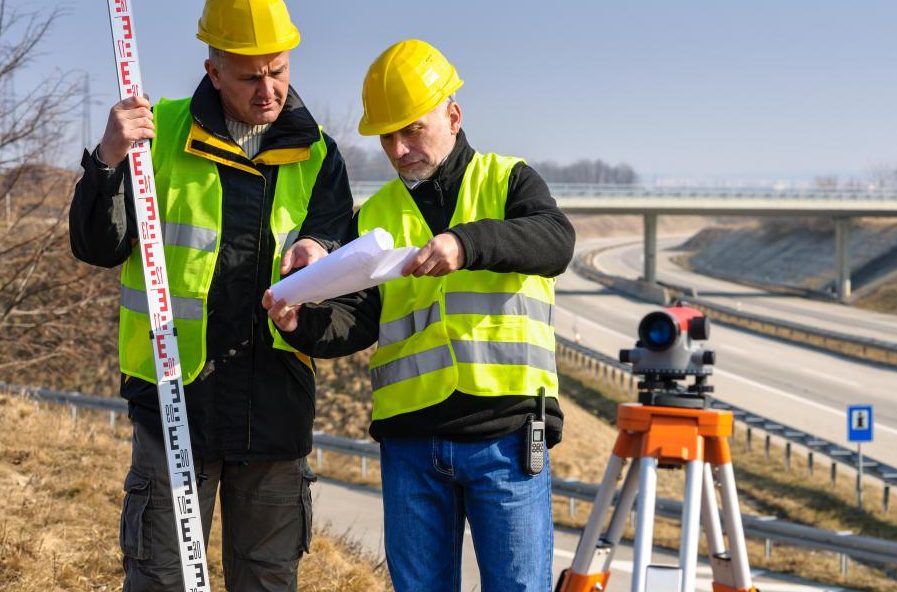
Land Surveying
Topographic, as-built, and construction layout surveys for accurate land development and engineering projects.
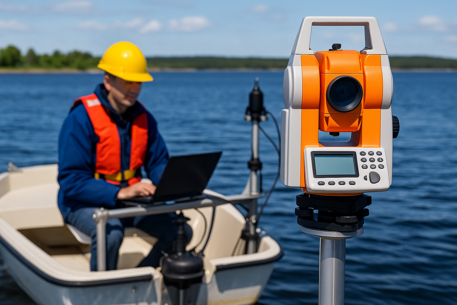
Hydrographic Surveying
Bathymetric, tidal, and seabed analysis to support marine, harbor, and offshore infrastructure projects.
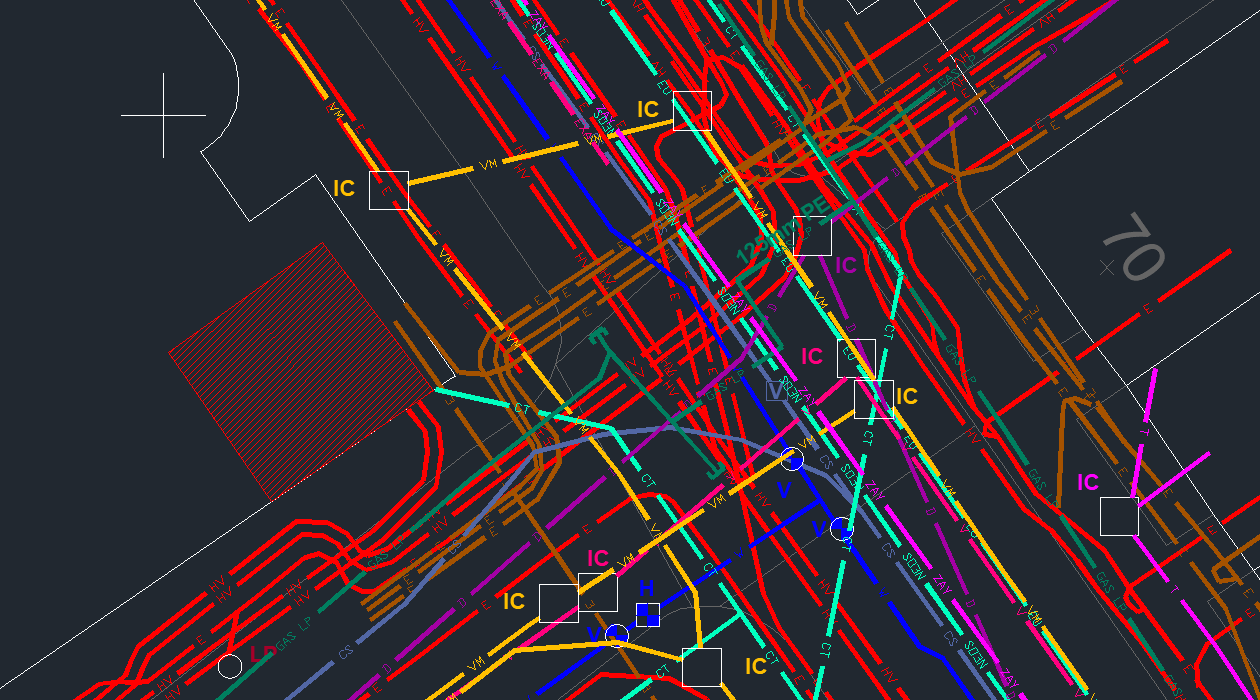
Utilities Mapping
Locate underground utilities and infrastructure with precision for safer excavation and smart city planning.
%20(1).webp?width=679&height=382&name=1_HOGYL3qn2T9YfaXbF9nKaQ%20(1)%20(1).png)
Traffic Count Surveying
Accurately assess traffic flow, turning movements, and congestion to guide infrastructure upgrades.
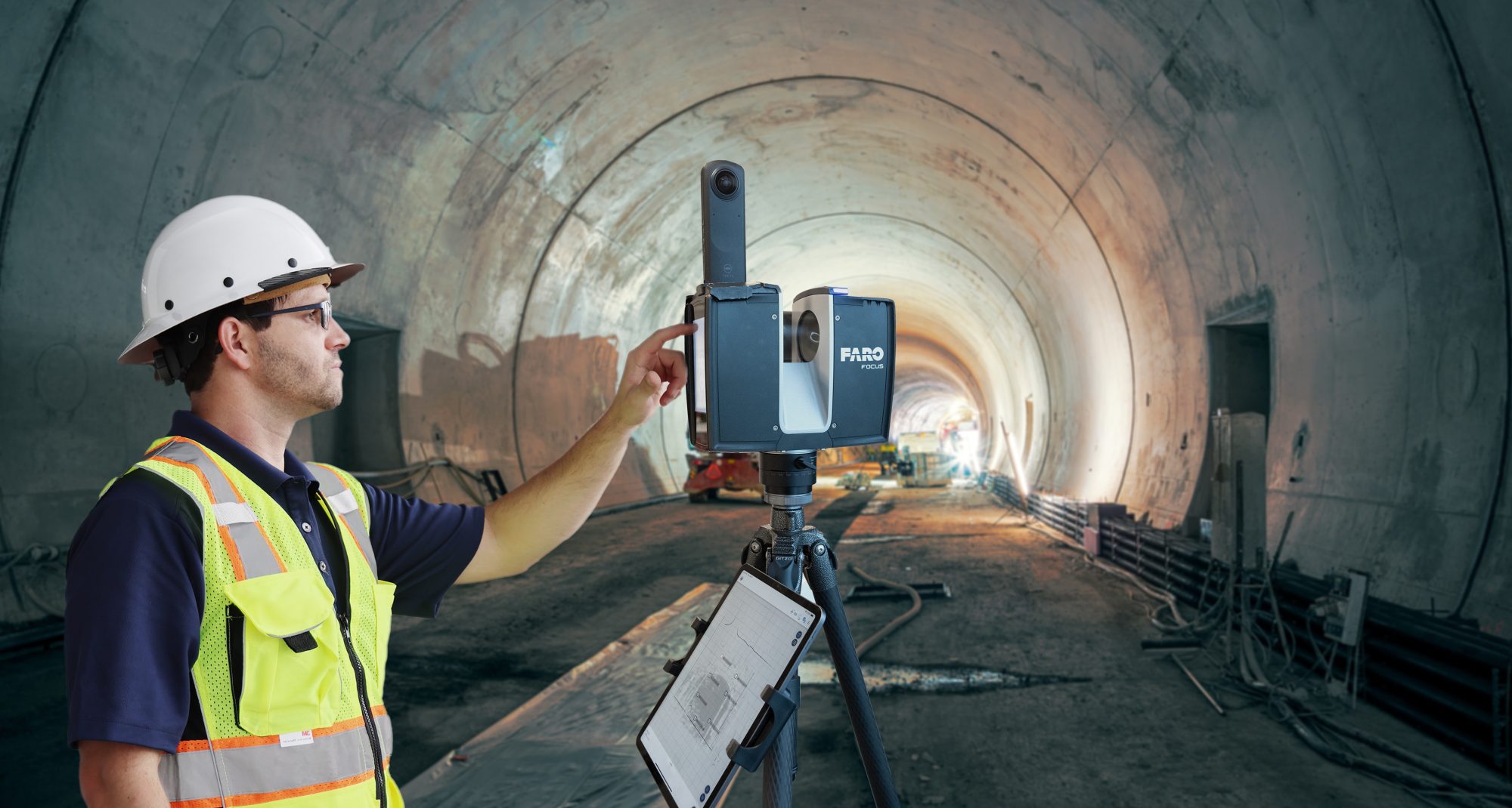
3D Modelling & Monitoring
Visualize terrain and structures in 3D for effective planning, clash detection, and site monitoring.
-

Advanced GeoTech Solutions
We combine drones, GPS, and 3D mapping to produce ultra-accurate site data.
-

Specialized Expertise
Industry veterans deliver results across infrastructure, utilities, and coastal surveys.
-

Data-Driven Impact
Our insights reduce errors, speed timelines, and optimize long-term decisions.
TRUST AND WORTH
Our Clients





Need a Customized Survey Plan?
Talk to our technical team to get a tailored quote based on your site size, project timeline, and requirements.
Talk to an Expert