Our Plumb Services
Quality Services

Aerial Surveying
Capture vital data from the sky with high-precision UAVs for surveying, mapping, and media production.
➞ Discover Aerial Solutions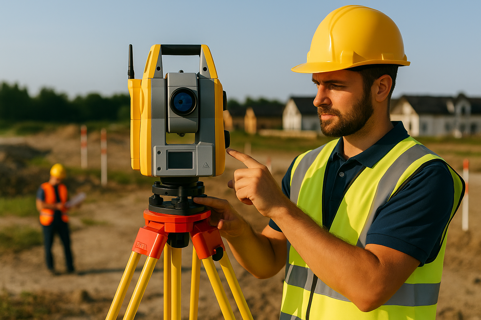
Land Surveying
Topographic mapping, as-built surveys, geodesy, and construction support for accurate site insights.
➞ Explore Our Land Expertise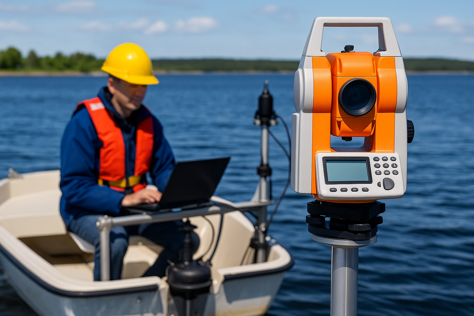
Hydrographic Surveying
Bathymetric surveys, tidal observation, and seabed analysis for marine and coastal development.
➞ See Hydrographic Services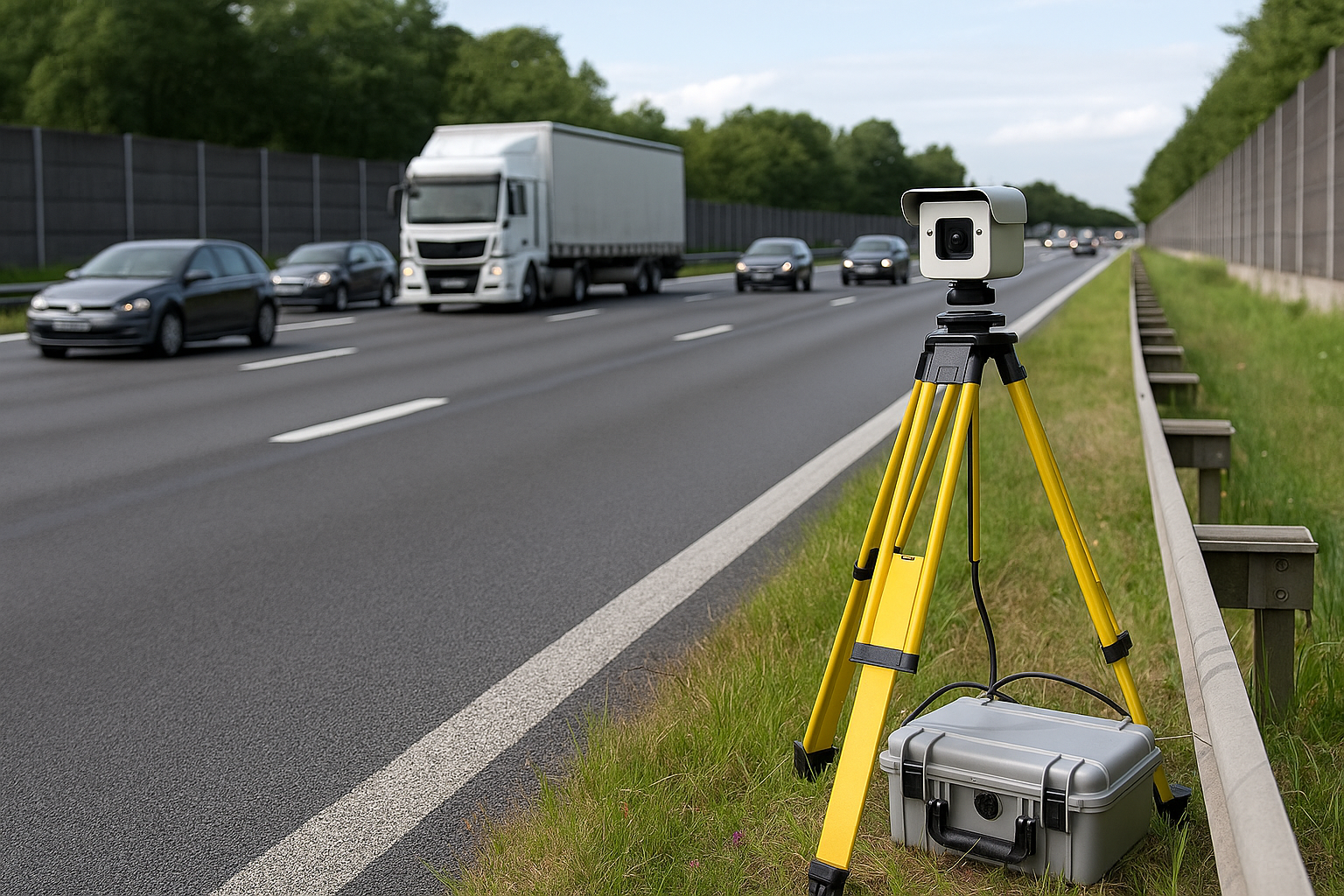
Traffic Count Surveying
Video surveys, automatic counts, and detailed traffic data analysis for planning and improvement.
➞ Traffic Data That Drives Projects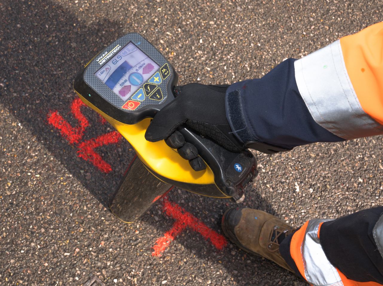
Utilities Mapping
Subsurface utility detection and geospatial mapping to prevent surprises and improve construction safety.
➞ Locate What’s Below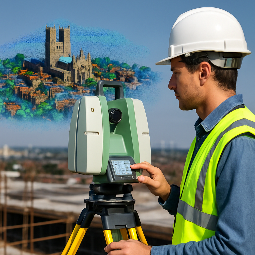
3D Modelling & Mapping
Laser scanning and drone-based models for BIM-ready design, visualization, and digital twin workflows.
➞ Experience 3D PrecisionTRUST AND WORTH
Our Clients